Understanding the georeferencing workflow
The georeferencing process generally consists of three operations, each with their own browser interface.
The steps at a glance
Preparation
Document preparation (sometimes they must be split into multiple pieces):
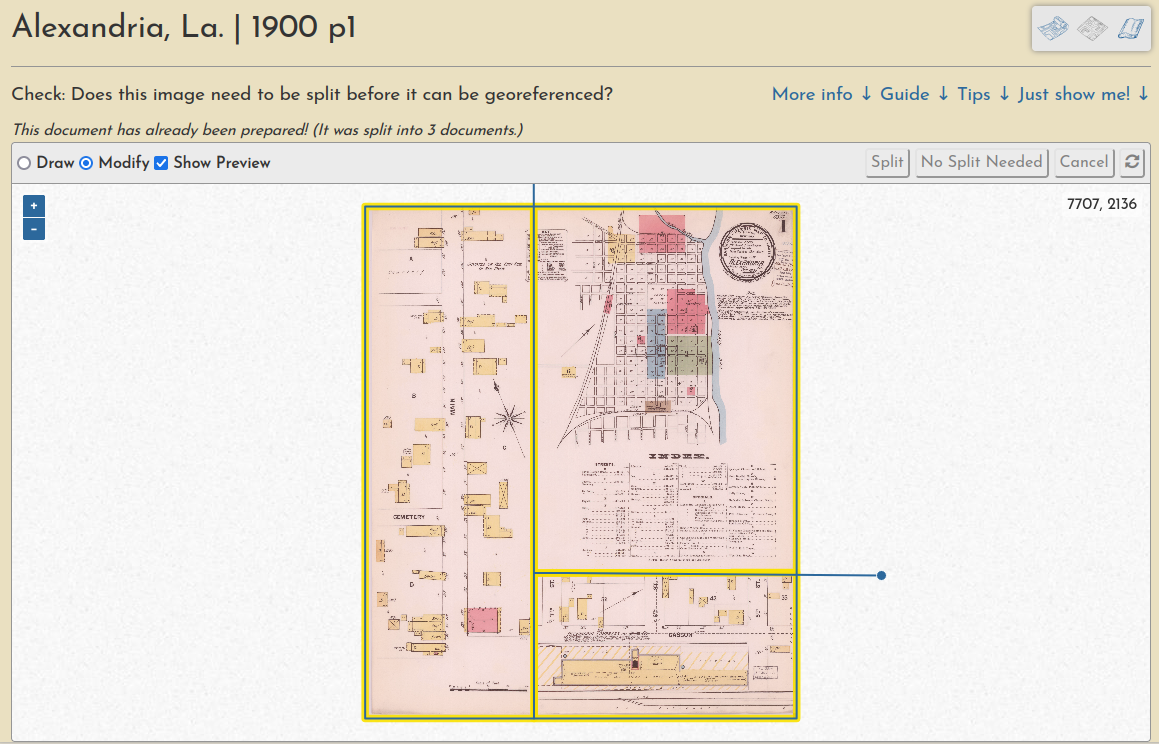
Learn more in this guide.
Georeferencing
Ground control point creation (these are used to warp the document into a geotiff):
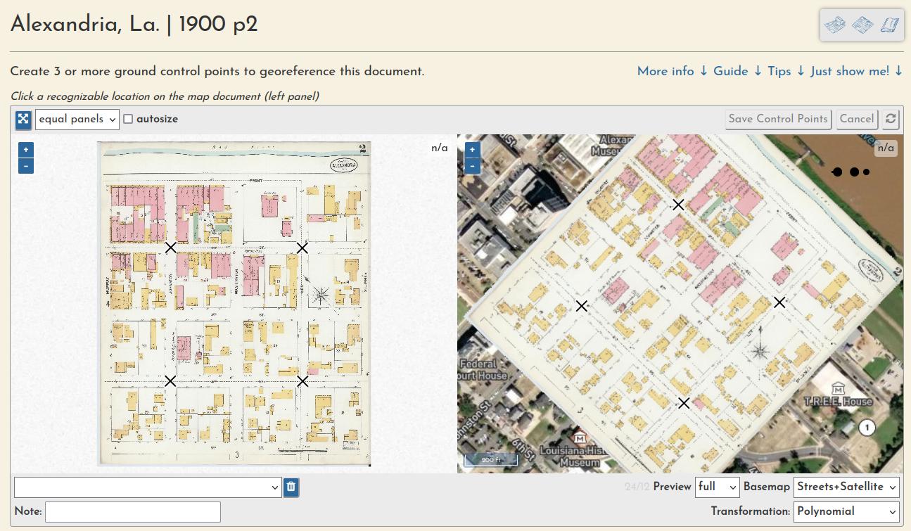
Learn more in this guide.
Trimming
And a "multimask" that allows a volume's sheets to be trimmed en masse, a quick way to create a seamless mosaic from overlapping sheets:
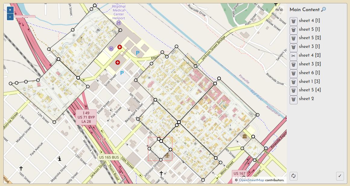
Learn more in this guide.
Full walkthrough
For a full illustrated demonstration of how these steps fit together across a whole multi-page Sanborn atlas, checkout the New Iberia, La. 1885 walthrough.
Work Sessions
All user input is tracked through registered accounts, which allows for a comprehensive understanding of user engagement and participation, as well as a complete database of all input georeferencing information, like ground control points, masks, etc.
You can always see the most recent sessions on the activity page.